Research Updates
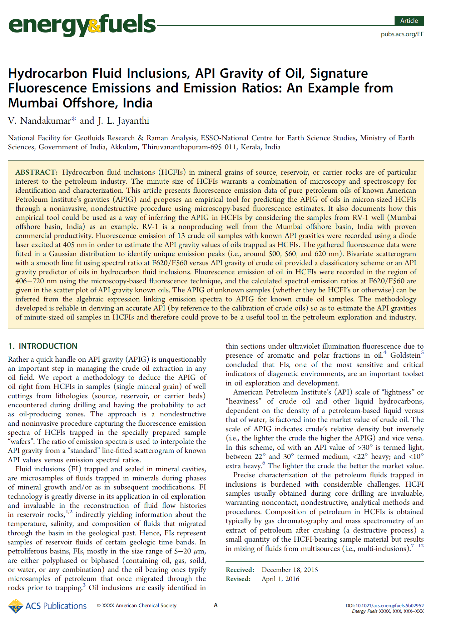
 Fluid inclusions (FIs) are microsamples of fluids trapped in minerals during mineral growth and/or as in subsequent modifications. FI technology is greatly diverse in its application in oil exploration and invaluable in the reconstruction of fluid flow histories in reservoir rocks, indirectly yielding information about the temperature, salinity, and composition of fluids that migrated through the basin in the geological past. Hence, FIs represent samples of reservoir fluids of certain geologic time bands. In petroliferous basins, FIs, mostly in the size range of 5−20 μm, are either polyphased or biphased (containing oil, gas, soild, or water, or any combination) and the oil-bearing ones typify microsamples of petroleum that once migrated through the rocks prior to trapping. Hydrocarbon fluid inclusions (HCFIs)/oil inclusions in mineral grains of source, reservoir, or carrier rocks are of particular interest to the petroleum industry. Determination of the American Petroleum Institute’s gravity (APIG, density of oil factored into the market value of crude oil) of oils in HCFIs is important since it offers unique insight into the quality of oils that are present in the different formations of petroliferous basins. We have identified that the scattergram of emission ratio (F620/F560) of crude oils versus API gravity is an accurate graphical tool to predict or determine the API gravity of oils in HCFIs. The APIG of unknown samples (whether they be HCFIs or bulk oils) that can be inferred from the derived algebraic expression linking emission spectra to APIG for known crude oil samples i.e., y = y0 (x0 − x)t ± 1 where y0, x0, and t are constants with values, y0 = 23, x0 = 2.55, and t = 1.4, and x is the emission ratio value at F620/F560. The study highlights the measuring of the fluorescence emission of the HCFIs as a valuable signature for quick detection of APIG.
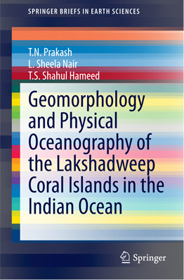
 The Lakshadweep islands are a group of 36 coral islands in the Indian Ocean. These small islands are unique for their aquatic bio-diversity and vast blue lagoons. This book presents the results of studies done by the authors during the period 1990 to 2009 that address the beach morphology, hydrodynamics, energy resources and management options with special reference to the issue of both natural and anthropogenic coastal erosion. The relatively low island elevation makes the islands more susceptible to high-wave attack and coastal flooding during adverse weather conditions. The islands are also prone to risks from episodic events like cyclones and deep depressions. This highlights the need for a comprehensive study of the wave, climate and coastal processes at work during different seasons to delineate the factors responsible for shoreline changes and also to identify the locations that need protection and the management options. This book will serve as a guide to researchers, scholars and students who are interested in the coastal processes of coral islands.
Rain drop size distribution (DSD) was measured at four places in Southern India
{Thiruvananthapuram, Kochi, Munnar and Sriharikota (SHAR)} using a Joss-Waldvogel (JW) impact type disdrometer. The data for each minute were corrected for dead time errors and rain rate was computed from the corrected data. The data for a whole month were then sorted according to rain rate (R) into several classes ranging from 0.1 to >100 mm/h.
Recent clinical trials conducted by CESS in collaboration with the Regional Cancer Center, Trivandrum has shown that diffuse reflection spectroscopy (DRS) could turn out to be a highly sensitive tool to classify oral cavity tissues especially those of the tongue and lip that have poor classification sensitivities with laser-induced autofluorescence (LIAF). In this technique the DR ratio of oxygenated hemoglobin absorption
In India, Kerala state is known to have relatively high lightning incidence. The nature of spatial and temporal distribution of past incidents, type of thunderclouds which cause lightning, the topography, proximity to a mountain range and sea point to the possibility of the mountain weather aiding in Cumulonimbus cloud (Cb) formation. For investigating the role of mountain weather in convective Cb formation a field station consisting of an automatic weather station and a lightning detector was established


 सूचना का अधिकार
